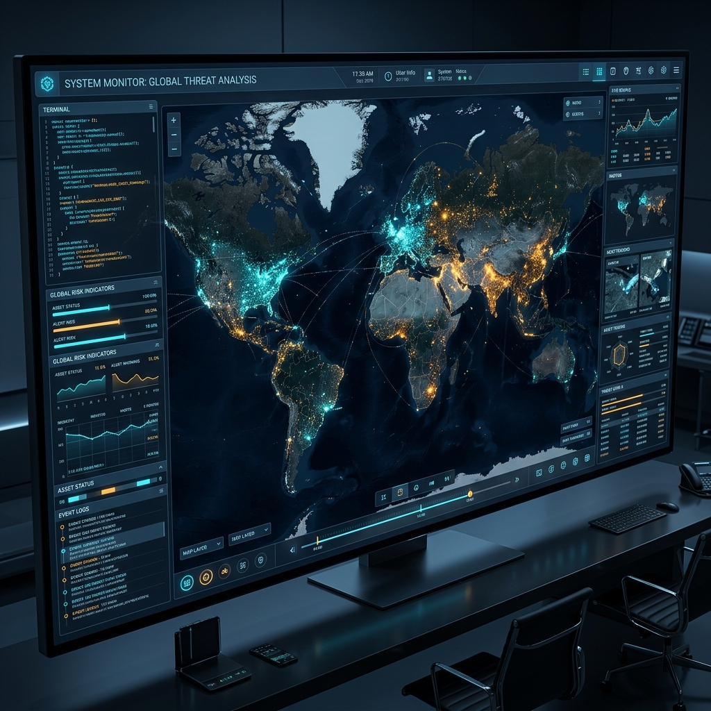
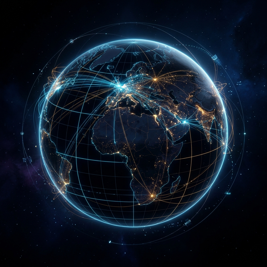
GEOPULSE is a free, open-source global intelligence dashboard that fuses satellite imagery, geopolitical data, live threat feeds, and interactive guided tours into one seamless command interface.
Six intelligence categories. Dozens of curated data sources. One unified terminal interface.
Real-time conflict zones, active war fronts, territorial disputes — updated continuously with click-through briefings on every flashpoint.
ISS real-time tracker with detailed telemetry popup. Starlink constellation visualizations with 500+ simulated LEO satellites. Live webcam feeds from alpine and urban locations.
Democracy vs. Autocracy (Freedom House). NATO, BRICS, SCO bloc memberships. Political regimes color-coded for instant recognition.
Global submarine cable networks. Hyperscale data centers by tier. Nuclear power plants with operational status and reactor counts.
NASA FIRMS wildfire data. Active volcano alerts (Smithsonian GVP). Global seismic activity. Radiation hotspots worldwide.
9 curated alpine & city webcams from foto-webcam.eu. Zugspitze, Feldberg, Nebelhorn, Munich, Innsbruck, Vienna, Salzburg, Sonnblick, and Konkordiahütte. Auto-refresh every 60 seconds.
Switch the entire interface between English and German with one click. All layer descriptions, navigation, and educational tooltips translate instantly.
Interactive guided tours fly you around the globe with documentary-quality narrated briefings. Auto-starting Welcome Demo Tour for first-time visitors. Five categories: Geopolitics, History, Society & Rights, Science & Nature, and Sports & Culture. New in V2.41: Winds of the World tour with auto-activating wind particle layer. Highlights include Women Who Changed the World, Migration Routes, Forbidden Zones, Shipwrecks & Lost Treasures, Tech Capitals, 14 Summits, and Space Race — with bilingual audio narration (EN/DE) and Wikipedia images at every stop. Tours now live in their own standalone panel for quick access.
26 bilingual map-integrated quiz questions across Geopolitics, History, Science, and Sports. Three difficulty tiers: Explorer (untimed with hints), Analyst (30s timer), and Commander (15s timer). Includes map-click "locate" questions with distance scoring.
Instant fuzzy search across all 41 tours and 23 layers in English and German. Always visible at the top of the sidebar. Results grouped by type with match highlighting. Keyboard navigation and Ctrl+K shortcut.
Premium intro experience: click "ENTER" to start GEOPULSE with a procedural cinematic audio drone (4-layer Web Audio API synth) synchronized to the radar splash animation. Zero external files — pure browser synthesis.
4,000 animated wind particles flowing across the globe in real time from Open-Meteo API. Jet streams glow amber at 200+ km/h. Color-coded by speed: teal → cyan → white → amber. Auto-refreshes every 30 minutes. Pairs with the "Winds of the World" guided tour.
Weather radar · ISS tracker · Wildfires · Earthquakes · Internet outages · Solar activity
Regime classification · Geopolitical blocs · Active conflict zones · Country borders & labels · Undersea cables · Nuclear infrastructure
Submarine fiber cables · Hyperscale data centers · Nuclear power plants · Nuclear arsenals (SIPRI 2024)
Fully 9:16 optimized · ISS Tracker · Webcams · Submarine networks
18 webcams across the globe — from Alpine summits to world capitals. Two tiers of sources for maximum reliability: snapshot cameras that always work, plus YouTube embeds for global reach.
Cinematic guided tours fly you around the globe with educational briefings at every stop. Key locations display Wikipedia thumbnail images for visual context. Toggle the 🔊 AUDIO button for documentary-quality narration with neural voice selection and sentence-level breathing pauses — no plugins required.
One-click preset: Nuclear sites, cables, and power infrastructure.
One-click preset: Maritime chokepoints, cables, and DEFCON alerts.
GEOPULSE is designed for instant intelligence — zero configuration required.
Navigate to the GEOPULSE URL. The command center loads instantly with live satellite imagery and all feeds active.
Toggle any combination of data layers from the sidebar — from seismic activity to undersea cables and nuclear sites.
Click any marker for detailed briefings. Take a guided tour with audio narration, or use scenario presets to explore specific global events.
GEOPULSE is a passion project built with MapLibre GL, vanilla JavaScript, and a deep fascination with global events. No paywalls. No accounts. No tracking. Just real-time intelligence for anyone who wants to understand the world.
Open the GEOPULSE map and watch the world in real time. Completely free. No registration required.
Launch Command CenterAvailable on all devices · No installation · No account required