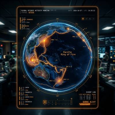
 🌋 RING OF FIRE
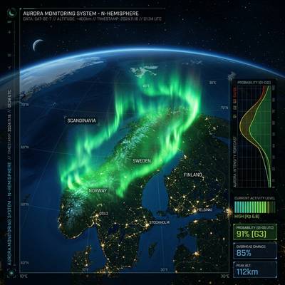 🌌 AURORA FORECAST
GEOPULSE
EXPLORE HISTORY. UNDERSTAND THE WORLD.
by RB Design 2026
Now 40 guided tours! Fly to real locations with satellite imagery
World Wars, Roman Empire, Forbidden Zones & Lost Wonders
Live earthquakes, volcanoes, wildfires & satellite orbits
Built for students — Geography, History, Science & Politics
WHAT INTERESTS YOU?
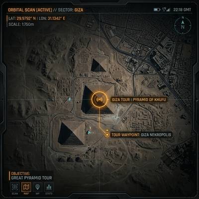 🏛️ LOST WONDERS
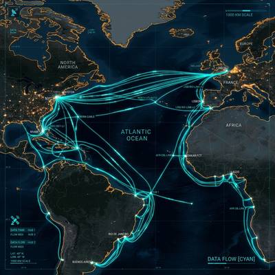 🌐 DIGITAL SILK ROAD